Read the statement by Michael Teeuw here.
Trying to make my own LIRR live map module but don't know where to start
-
This module would take up the whole screen and have LIRR feeds with when trains depart Atlantic Terminal, Penn Station and and station of you’re choosing. It will be very customizable. Where do I start? Google Maps as the background? Make the map and lines myself? It will show where all the trains are all the time. All the LIRR modules are outdated due to the older api being discontinued. Any help is appreciated.
-
@EphraimB yes it’s a lot of math and positioning
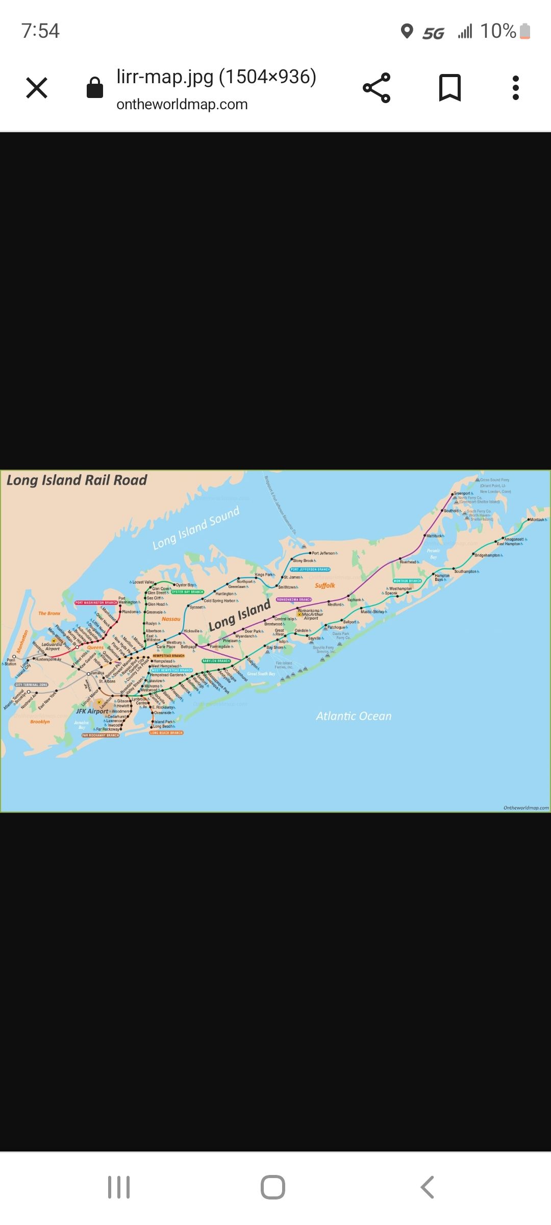
what you might be able to do, is use a map like this

and map the gps positions of all the stations to the x/y space of the image on the screen.
mapping to the trains in the lines would be tougher. but you draw on a 2d canvas.
-
@sdetweil I don’t need a Google maps layer?
-
@EphraimB you can view and save that as an image. the railroad tracks and terminals are not gonna move today… or anytime soon
