Read the statement by Michael Teeuw here.
-
@karsten13 said in ISS tracker:
Which are the ones you want to see, ft and mph?
used now mi and mph …
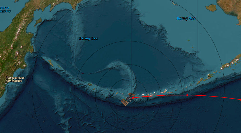
There is a new version with the above option and a new default map.
-
@karsten13 Bravo and thank you for your responsiveness, this card is more beautiful, the best would be to have a more colorful card, but you are at the top again, congratulations for your work

-
AFAIS they combine several layers, they are visible in the source code of the page.
For the main layer you can try
mapUrl: "https://server.arcgisonline.com/ArcGIS/rest/services/World_Imagery/MapServer/tile/{z}/{y}/{x}", -
@karsten13 thank you for your answer, I will try
-
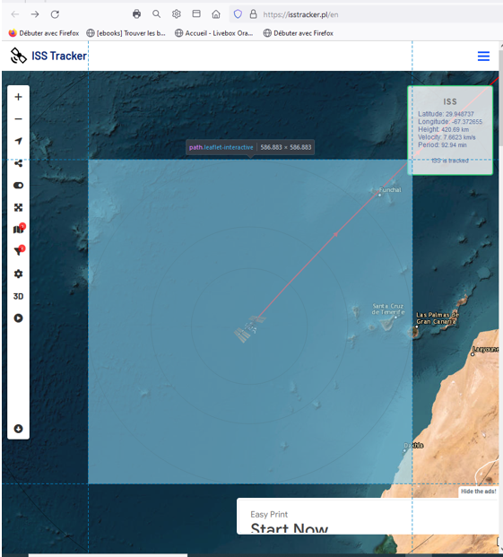
@karsten13 great, it works however there are no longer the names of the cities, do you think it would be possible to have a mix of the two? you are at the top, well done

-
@karsten13 Awesome! I updated the module and my config, and see the imperial units. Thanks!
-
@Manu85 said in ISS tracker:
it works however there are no longer the names of the cities
that was meant with “they combine several layers” but I don’t know how at the moment …
-
@karsten13 ok, thank you for your work
-
@karsten13 I just realized that I was using 2 accounts Manu85 and manu85340!!!
-
I added options for city and country layers, see https://gitlab.com/khassel/MMM-ISS-Map#add-country-and-city-layers
If they are missing in the used map you can add them now in the config.

