Read the statement by Michael Teeuw here.
MMM-EARTH
-
Description:
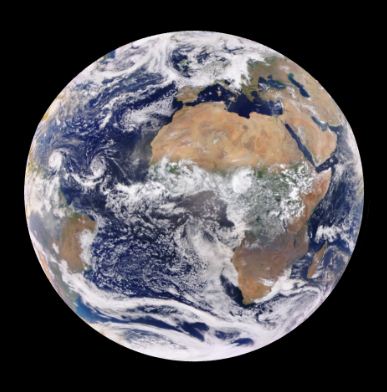
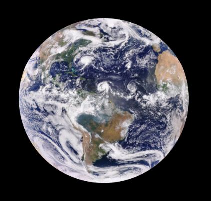
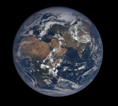
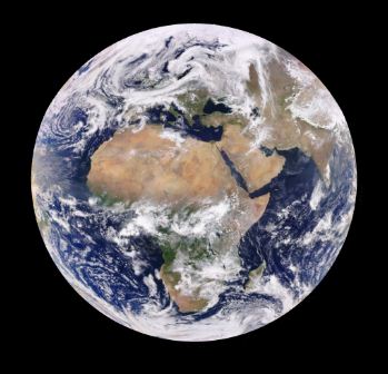
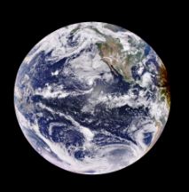
Watch the sunlit side of Earth as it rotates. NASA’s Earth Polychromatic Imaging Camera (EPIC), aboard NOAA’s DSCOVR satellite, provides daily, full disc imagery of the Earth.
Examples:
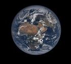
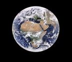
Natural or Enhanced imagery. Editable size. Thumbnails for minimum system load.
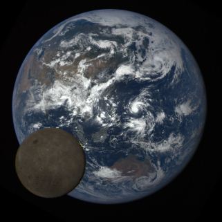
Never saw the dark side of the moon? Now you can!
Download:
[card:mykle1/MMM-EARTH]
Version 1.0.0
-
I try it now ! great job !
-
@Fonfon said in MMM-EARTH (Watch the sunlit side of Earth as it rotates):
I try it now ! great job !
Thank you. I hope you like it.
-
Really awesome job!!! Congrats! :)
-
@cowboysdude said in MMM-EARTH (Watch the sunlit side of Earth as it rotates):
Really awesome job!!! Congrats!
Thanks bro. I appreciate that. :thumbsup:
-
@cowboysdude said in MMM-EARTH (Watch the sunlit side of Earth as it rotates):
Really awesome job!!!
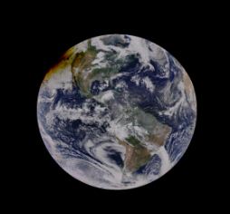
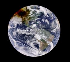
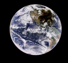
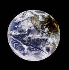
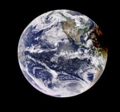
Now I would consider it awesome. Why? Well, it captured a unique perspective of the recent Total Solar Eclipse and I could not be more pleased. We’ve all seen the pictures of the sun eclipsed by the moon’s transit. A truly awe inspiring event. But who has seen the shadow that passed over the earth? MMM-EARTH, that’s who.
Ok, so I’m bragging a little, but come on! It’s friggin cool!


-
@Mykle1 That is really cool!
-
@cowboysdude said in MMM-EARTH (Captured unique perspective of Solar Eclipse August 21, 2017):
That is really cool!
Thank you!
Again, I would like to thank you @cowboysdude and @strawberry-3-141 for your assistance when I was stuck developing this module.
-
Download:
[card:mykle1/MMM-EARTH]
Update Version 1.0.1
NASA changed their data without consulting me first. :^)
Thanks to JohnB7777 for creating the issue and bringing it to my attention.
And a tremendous Thank You to @cowboysdude for the fix and the pull request.
So, a
git pullin your MMM-EARTH directory will correct the problem. -
In light of the recent hurricane activity plaguing the Caribbean and the Eastern United States, I did a quick check of conditions using MMM-EARTH. You can see the storm paths and their development.
