Read the statement by Michael Teeuw here.
MMM-Flights
-
@KI6UVE no, just restart mm
-
Is there a way to configure the flight data output to make the units Imperial instead of metric?
-
no, but should not be a big thing to implement this.
I see the
mfor the height andkm/hfor speed, so what are the correct imperial units?ftform?
mphforkm/h? -
@karsten13
Yes, ft and mphThanks!!
-
new version is released with new config option
units, see https://gitlab.com/khassel/MMM-Flights/-/blob/master/MMM-Flights.js#L41update instructions for the module: https://gitlab.com/khassel/MMM-Flights#update-to-new-versions
-
Awesome!! vielen Dank
-
S sdetweil referenced this topic on
-
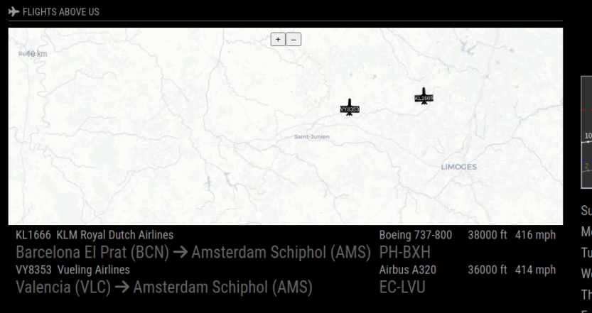
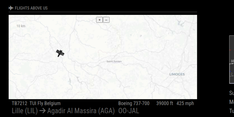
I have MMM-Flights working well except mapFixedArea: true, seems to be ignored.
The map changes width depending upon the ac in the area.


Also the map shows even with no traffic and showMap: “ifTraffic”,

Any ideas or thoughts?
-
@lif can u show the config for this module
-
@lif said in MMM-Flights:
The map changes width depending upon the ac in the area.
yes, the map changes width because of the length of the flight data in the table below, the area inside the map does not change. You can test this with setting
mapFontColor: "red",so you see the area points.But I have to rethink this behavior or provide an option for a fixed width.
Also the map shows even with no traffic and showMap: “ifTraffic”,
will look into this, I did a rewrite of the module so maybe this was lost …
-
@sdetweil said in MMM-Flights:
@lif can u show the config for this module
module code/** * @file MMM-Flights.js * * @author Karsten Hassel * @license MIT * * @see https://gitlab.com/khassel/MMM-Flights */ Module.register("MMM-Flights", { defaults: { provider: "flightradar24", instanceId: "FR", // needs to be set to different values if you run more than 1 instance of this module // // example for ADSBexchange: // provider: "ADSBexchange", // providerApiKey: "your-api-key", // providerUrl: "https://adsbx-flight-sim-traffic.p.rapidapi.com/api/aircraft/json", // // example for opensky: // provider: "opensky", // providerApiKey: "user:password", //optional, without limited requests // providerUrl: "https://opensky-network.org/api/states/all", unknown: "?", // string used if no data available title: "Flights Above Us", logoTitle: "fas fa-plane", logoUp: "fas fa-plane-departure", logoDown: "fas fa-plane-arrival", logoTo: "fas fa-arrow-right", // area defined by a bounding box of WGS84 coordinates (la=latitude, lo=longitude): laMin: 49.85, laMax: 50.25, loMin: 7.8, loMax: 9.3, showGrounded: false, // show grounded airplanes showMap: "ifTraffic", // "always", "never", "ifTraffic" noFlightsMessage: "Currently no flights in chosen area ...", // message shown if no data available mapUrl: "https://{a-d}.basemaps.cartocdn.com/light_all/{z}/{x}/{y}.png", // you can bring your own map // mapAttributions: '', mapHeight: "300px", mapFixedArea: true, // if set, the defined area is shown, if not the area is calculated from the plane locations mapPosition: "bottom", // "top" or "bottom" // some params to define styles in map: mapFont: "40% sans-serif", mapPadding: [1, 5, 0, 7], mapFontColor: "white", mapBackgroundColor: "black", mapCurrentFlightColor: "#9c294f", mapBackgroundOpacity: 0.9, mapPlanePngSrc: "modules/MMM-Flights/data/plane.png", mapPlanePngScale: 0.07, mapPlaneTextOffset: 4, useMockData: false, // if set, test data is used updateInterval: 2 * 60 * 1000, // every 2 minutes units: "imperial", // metric uses m and km/h, imperial uses ft and mph },Config.js
  {
      module: "MMM-Flights",
      position: "center",
      config: {
        laMin: 45.80,
        laMax: 46.0081,
        loMin: 0.4674,
        loMax: 1.207,
      },
    },
Hope this helps
Regards
