Read the statement by Michael Teeuw here.
MMM-RAIN-MAP (new: version 2.x)
-
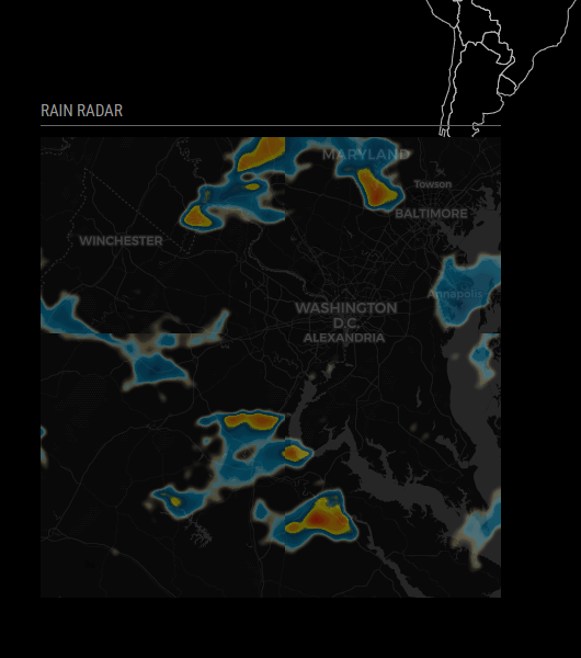
Now if I could just get a dark theme going. I’m cool with the rain being in color, but it would be nice if I could figure out how to get the roads & state borders to only be outlines. 9apps cartoonhd.onl
-
@singhharry12 - That’s exactly what I did. Add this line to your configuration:
osmMapUrl: "https://cartodb-basemaps-{s}.global.ssl.fastly.net/dark_all/{z}/{x}/{y}.png"Looks great (actual rain on rain map today!)

-
-
-
Thank you,
.MMM-RAIN-MAP {
   opacity: 0.7;
}
in the custom.css works very well.
-
Hi, is there only weather history on openstreetmap or is it possible to see two hours forecast?
-
@Stoffbeuteluwe Unfortunately the data provider only provides a weather history and no forecast :-/
-
Hello everyone,
does the module still work for all of you? I’m facing loading problems for about 2 days now, but I haven’t had the time to take a closer look at the cause yet.
Please give me feedback.
-
@Jalibu same here with module mmm pages…but the module is running alone…So, with mmm pages, take this module in first page…waiting a solution
-
@Jalibu the module is still running fine. No problems whatsoever.
